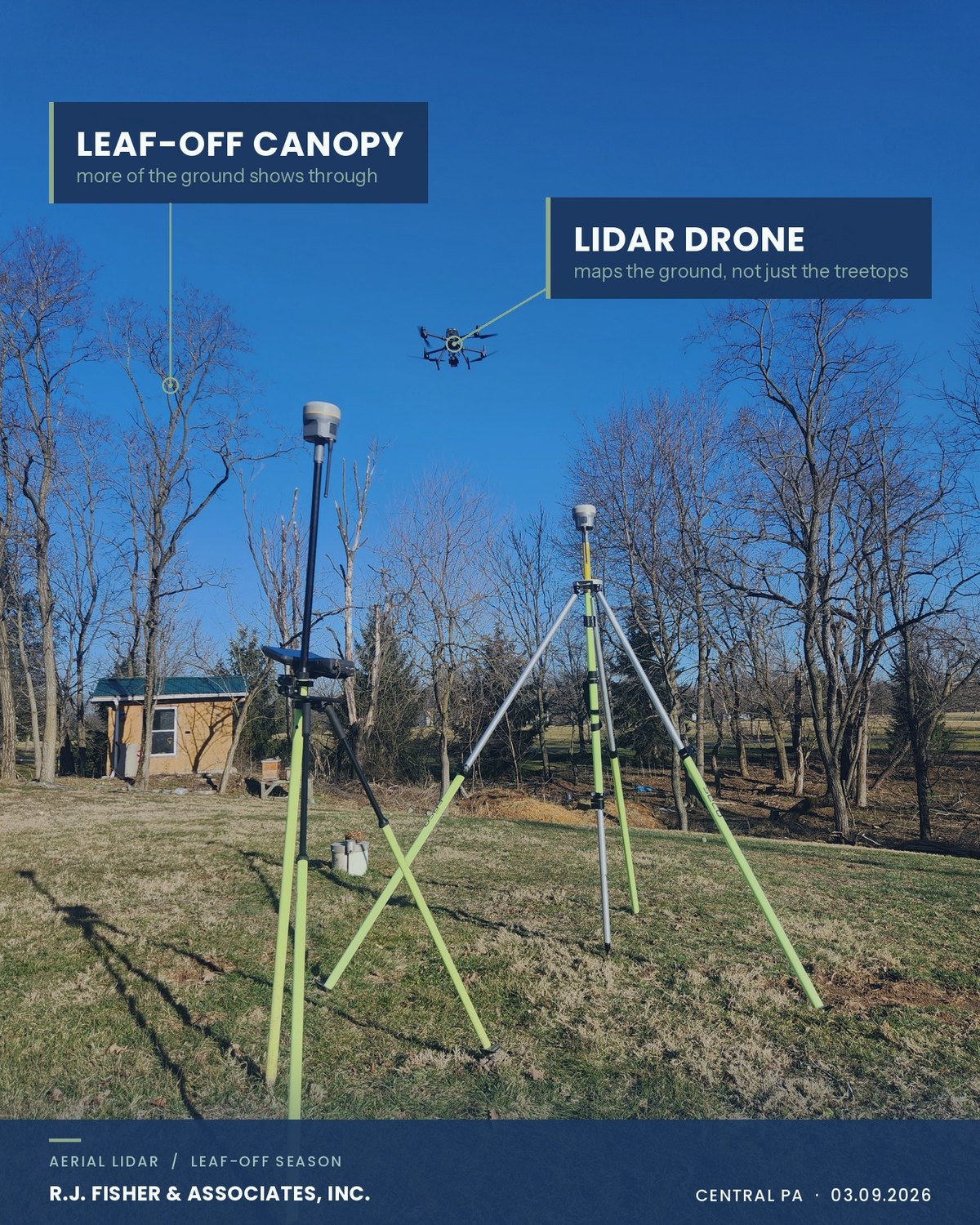
This photo is from March, and the bare trees are the point.
That is our LiDAR drone mid-flight, with our GPS base station set up on the tripod below it. LiDAR measures by sending out laser pulses and timing how long each one takes to come back. Over open ground, the pulses come straight back off the surface. Over woods, leaves and branches stop much of each pulse, but some of it slips through the gaps and returns from the ground underneath. The sensor records those returns separately, and processing sorts out which ones are ground.
Photos cannot do that. A surface built from aerial photographs is a surface of whatever the camera saw, and over a wooded lot the camera saw treetops. That is why LiDAR maps terrain under cover better than photos alone can.
With the leaves down, it sees a lot more of the ground. That is why leaf-off season is the best window for aerial mapping in Central Pennsylvania. Seeing more ground means a cleaner surface model and less time for the crew filling in gaps by hand. The window opens once the leaves come down in late fall and stays open until the trees leaf out in spring. Snow closes it for as long as it lies, because a surface flown over snow is the top of the snow.
Leaf-off does nothing for evergreens or thick brush. A hemlock stand or a row of pines is as dense in February as it is in July, and those are the places where shots taken on the ground still carry the model.
The drone is only half of it. Every flight is tied to our survey control and checked against points our crew measures on the ground. On hard surfaces we typically hold within a few hundredths of a foot. Heavier vegetation widens that, which is one more reason the leaf-off window matters.
The season matters less once a site is graded. A graded site has no canopy to see through, which is why reading a grading job from the air works in July as well as it does in February. The leaf-off window is for ground nobody has touched yet: wooded parcels, stream corridors and the tree lines that so often run along a property line.
If you have a parcel that will need topography before spring, get it on the calendar for the leaf-off window. More on what we fly is on our drone services page.